Our story
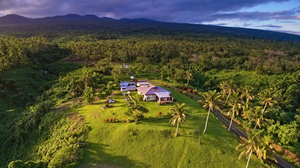
MapHub was born in Fiji in 2021 in the beginning as a pet and learning project to assist with mapping activities on the island of Taveuni, which is unique in being split in half by the International Date Line, already posing some aerial mapping challenges.

As soon as we started producing maps for clients, we quickly realised that they had no time or motivation to learn how to use complex GIS software in order to view their maps. They simply wanted to see their maps and be able to open them on their devices, print, and easily share them. The available mapping and GIS software is usually quite overkill, either lacking or having overloading number of features, tools, responsiveness, interface complexity, or requires a rather time-consuming installation process, monthly subscription, when all you need to do is simply upload your map and quickly make it accessible online with a simple interface, decent loading speed, and responsiveness.
And so, MapHub was born. It started as a basic Open Street Map and Mapbox Satellite layer, where you can upload your raster orthophoto images in geoTIFF format, and they appear as a layer over the world map.
Once your raster is uploaded and processed, you can easily share it with the whole world or only with designated recipients by simply sending them a unique link to open your map. All users with access to the map can start collaborating on it by adding their markings, notes, measuring lines, area measurements, uploading vector polygons and more.
The resulting map can be easily exported in a printable high-resolution PDF file, JPEG and PNG images, or downloaded as a source file in geoTIFF format by anyone allowed to do so.
MapHub is still in its toddler age, but it is already a fully functional tool for those who create maps and want to share them in a quick and simple way, saving their clients and stakeholders from spending their valuable time on installing and figuring out how to use specific software.
If you are a drone pilot or a small drone service company that produces maps for your clients, you should try adding MapHub to your business process and make your clients, that have no GIS software knowledge enjoy viewing your maps and being able to actually use them.