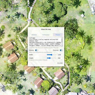
Embedding a map in a website
You can share your mapwork on your website or blog. Simply copy and paste code from map sharing widget in MapHub.
You can share your mapwork on your website or blog. Simply copy and paste code from map sharing widget in MapHub.
The major challenge when exporting data from QGIS to Autocad DXF is to make sure we export all tree dimensions coordinates XYZ because using default contour vectors producing tools in QGIS we usually only get X and Y coordinates with elevation value saved in Attributes Table that doesn't get exported in DXF file to be used in Autocad. In this article we explain how to export in Autocad DXF format the contour lines processed in QGIS.
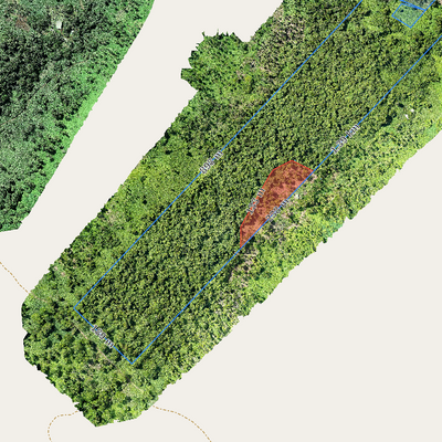
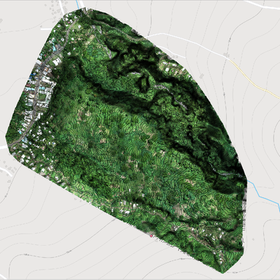
It is hard to detect encroaching on a relatively large piece of land, where remote boundaries are hard to access from the ground. In this post we will show how can you achieve that with the help of aerial mapping and MapHub.