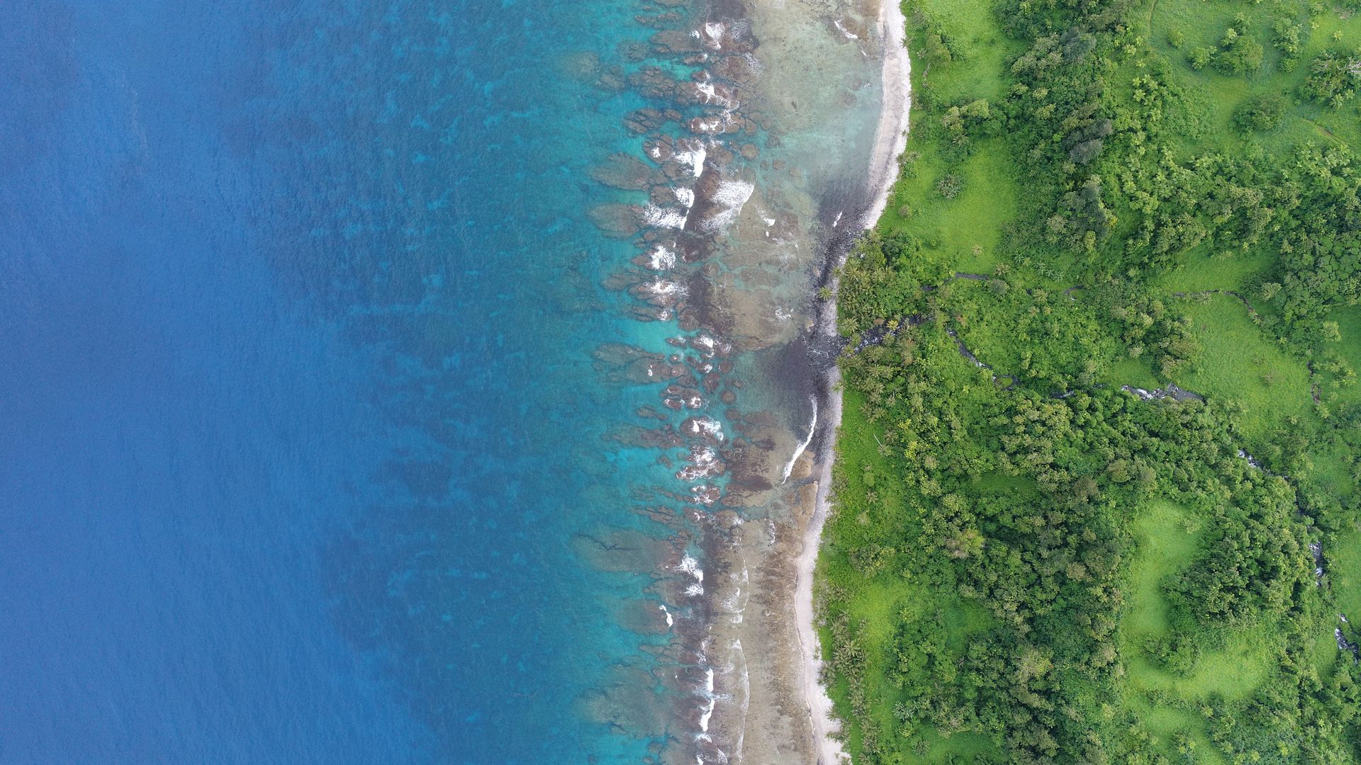
Drone mapping work shared easy
MapHub is a sharing and collaborating platform for geo referenced orthophoto maps. It provides clean, simple and fast interface to share your work with your clients and stakeholders by simply uploading your map to MapHub storage and sharing the link to open it to view and collaborate.
Various maps upload options
Google Drive, Mega NZ cloud storage integration or just simply upload it the usual way from your browser.
Make it public or private
Show your map to the world or keep it private sharing with designated people or group only.
Digitizing tools
Special vector tools to make your maps more informative. Mark areas, place location pins, add notes, measure areas, boundaries, distances.
Share and collaborate
Send a link that opens your map to anyone who you think should see it with viewer only mode or full access for proper collaboration, so they could not only see, but edit it too.
Convert and export
Once maps uploaded in geoTIFF format, you can convert it to high resolution PDF file ready for printing, download the map as a raster image or as a source file in geoTIFF format.